
See beyond the surface. Understand what’s really happening.
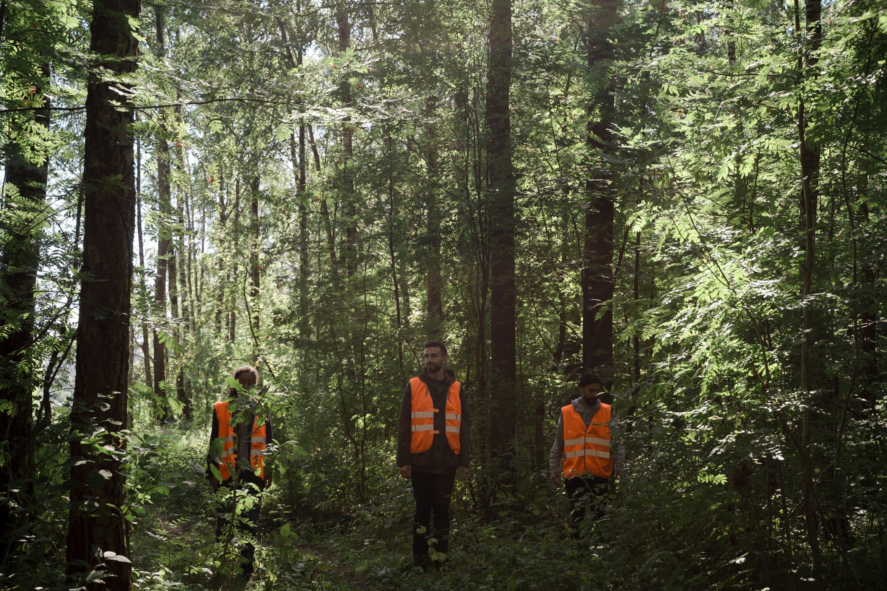
Most environmental professionals are forced to rely on snapshots or incomplete data. But landscapes are dynamic, and early indicators often hide in patterns the human eye can't detect. ArborCarbon’s data processing and deep learning services reveal what’s changing, why, and what to do next—so you can act before small issues become systemic problems.
The problem with guesswork
Many land managers still assume that visual inspection or periodic drone flights provide enough insight. Others invest in collecting vast datasets but lack the tools or expertise to interpret them meaningfully. The result? Delayed action, inefficient reporting, and missed opportunities to prevent damage or prove compliance.
You don’t need to work from gut feeling or outdated reports. We turn complex datasets into decision-ready insights you can trust.


What deep learning actually delivers
At ArborCarbon, we don’t just collect data—we transform it into environmental intelligence.
Our processing framework integrates high-resolution airborne remote sensing (using ArborCam), machine learning, and scientific validation to detect subtle environmental changes with precision. From spectral vegetation indices to multi-temporal change detection, we give you accurate, timely, and clear analysis you can act on.
We don’t offer black-box outputs or generic maps. Every report is backed by scientific rigour and tailored to your objectives.
What we deliver
- Precision insights
that identify species and detect early-stage abiotic and biotic disorders impacting vegetation health - Significant time savings
using automated pipelines that reduce manual analysis - Confidence in decision-making
through validated, repeatable methodologies - Better environmental outcomes
with data that supports proactive planning and regulatory compliance
How it works:


Why choose ArborCarbon?
- Scientific credibility
Our team includes globally recognised researchers in vegetation health, remote sensing, data science and forest pathology. - Custom tools
We build tailored processing pipelines using deep learning, spectral modelling and GIS integrations. No off-the-shelf guesswork. - Trusted by industry leaders
Our clients include local, state and federal government agencies, major forestry companies, and international entities. - Driven by sustainability
Everything we deliver supports long-term environmental health, biodiversity and responsible management.
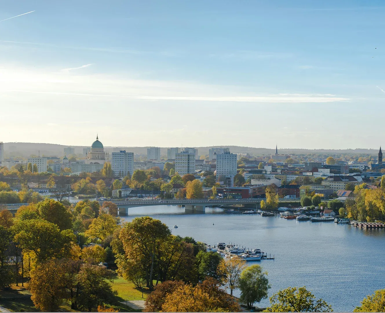
City of Melville
The challenge
Polyphagous Shot Hole Borer (PSHB) is a pest-pathogen complex that has caused alarming impact to urban trees throughout Perth, resulting in an eradication response to prevent further spread. The City of Melville was concerned about the potential impact to their iconic London Plane Trees and asked ArborCarbon to monitor the change in condition of these trees using ultra-high resolution (sub 2cm GSD) airborne ArborCam imagery.
The solution
ArborCarbon used ultra-high resolution ArborCam data and deep learning techniques to delineate every tree crown and measure the height, condition and surface temperature at the sub-tree level in 2022. Since then we have acquired annual change detection data to detect decline in condition at the sub-tree level, initiating targeted field assessment.
The impact
The council now has access to 4 years of annual data showing decline in condition of every tree. This has led to targeted field assessment, and even identified trees suffering from other impacts (root damage from development) prior to visible decline in crown condition. This led to the City of Melville and ArborCarbon winning the 2023 National Parks and Leisure Australia Award for Best Use of Technology.
“ArborCarbon helped us develop a cost-effective, rapid and precise method for monitoring changes in health at the sub-tree level, providing us with confidence that we can respond early to abiotic and biotic impacts, including from PSHB”— Project Lead, City of Melville.


